
How did you go?
Sixmaps should have enabled you to build a picture of the DP and Lot numbers associated with your property using the map contents guide box. As well you should now have the area and perimeter of each Lot by using the area measure on the tools bar. You may also have a total area figure.


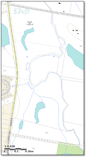
It is very useful to have a plain map which enables the marking of project areas and other Landcare points of interest. A graticule map of the property can be produced from this information and provides an accurate means of locating points and features on the
In case you are wondering how to get the degrees and minutes on the Graticule chart, join me next edition as we check this from Google Earth.
Till then, Happy investigating.
You should be able to find a scale measure on the screen and include this in your screen print. By taking a screen image you can commence to build your Property Profile. Having the scale on the map will enable use regardless of the copy size.
