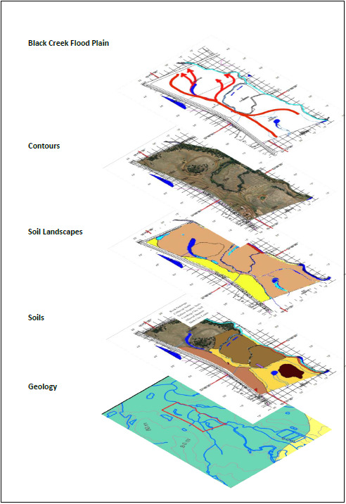
The object of our investigations is to have a sound understanding of the property we work upon. This selection of maps builds upon the geology and terrain of the property.
It also gives an idea of the areas we will investigate over a period of time to make us very familiar with “our patch”.
The Base Map is the one we obtained from Sixmaps and we can use this to mark features on our property.
Apart from the Geology map, the soils and terrain maps are set over the Graticule Map base.
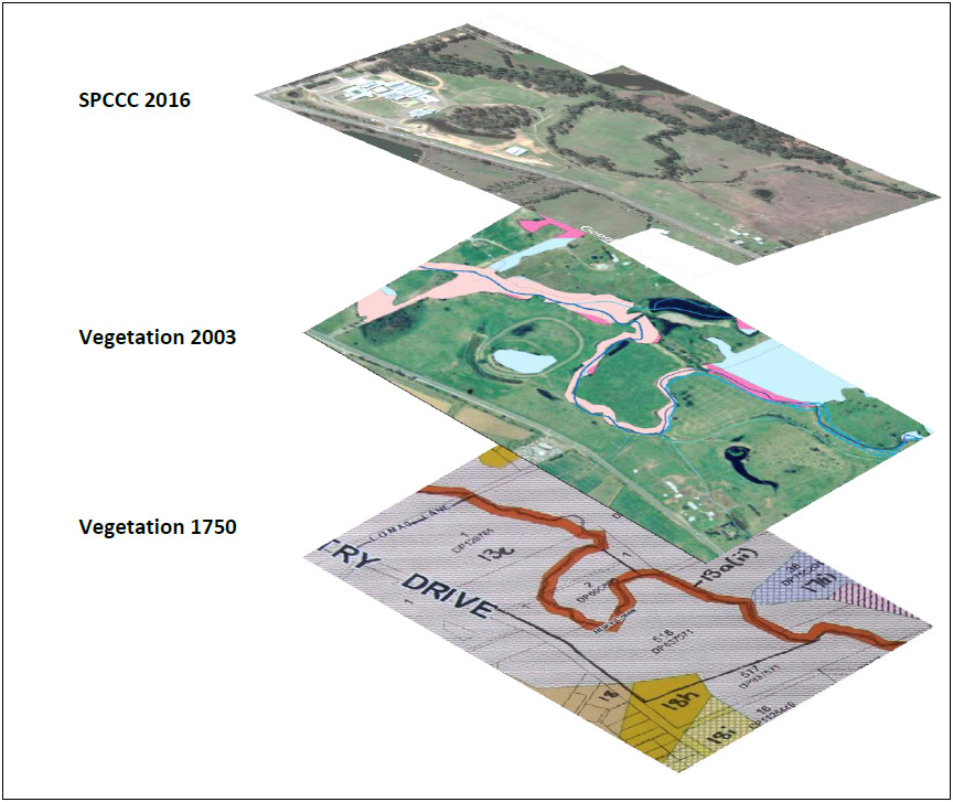
The Vegetation maps are from various sources that we will discuss in the months ahead.
You can be on the lookout for information regarding any of these and other features of your property so that you will be in a position to mark up your own map with specific details in the future.


You should be able to locate weed infestations to enable the planning of treatment or eradication programmes. You may be able to use your maps to apply for grants and measure the areas that you intend to expend funds on.
In conjunction with wildlife cameras, (HRLN and Local Land Services have cameras available of monitoring wildlife) you should be able to prepare interesting reports and information for visitors to your sites.
You may be able to suggest topics that you would like to investigate and send in a request to the Property Detective.
Happy Investigating!

