Water and my Property
An abundant feature of many locations during the past year, has been significant rainfall. A further issue has been the impact of downstream flows that can have an impact even though rainfall at the location was not necessarily high!
The characteristics of your property will be influenced by rainfall and by water flowing across the land. This has implications for property owners and for Landcarers who work on riverbanks and creek lines.
For many, a regular habit is to check the rainfall gauge each morning near the home and record the details on a rainfall chart. This provides a local check on the nearest Bureau of Meteorology Station. In many instances the differences will be minimal if the station is not too far away. For longer distances the station recordings may be of minimal significance as storms can be very localised.
The Bureau has its own Web site at
The above link will bring you to the main BOM page.
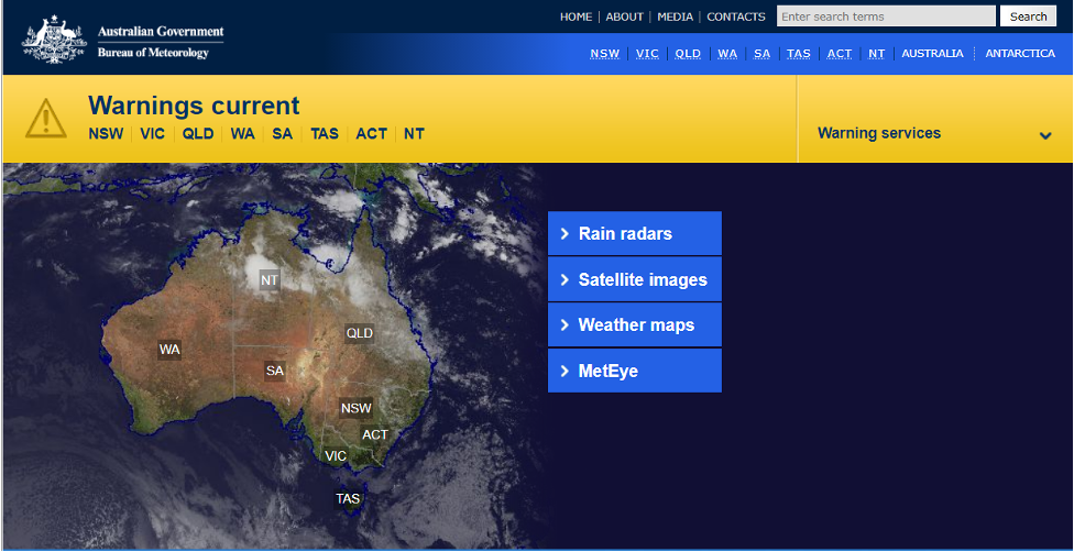
(Note: The BOM site is a wonderful labyrinth of information, so it is easy to get side tracked).
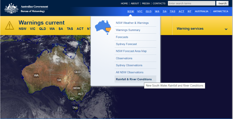
From this page select the NSW spot on the blue bar and choose Rainfall and River Conditions
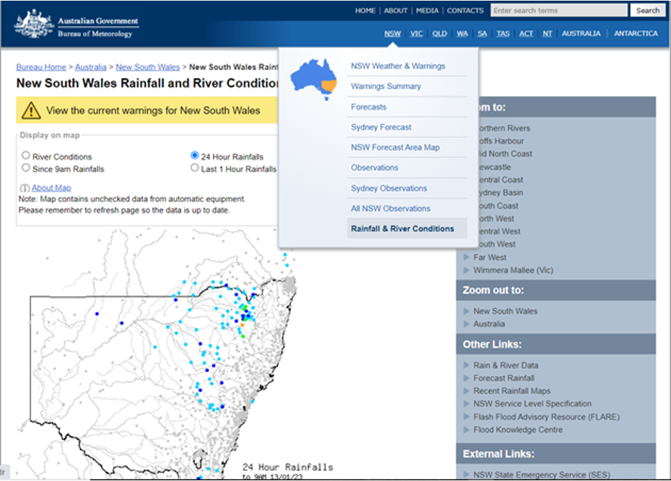
A click on your mouse will lead you to…
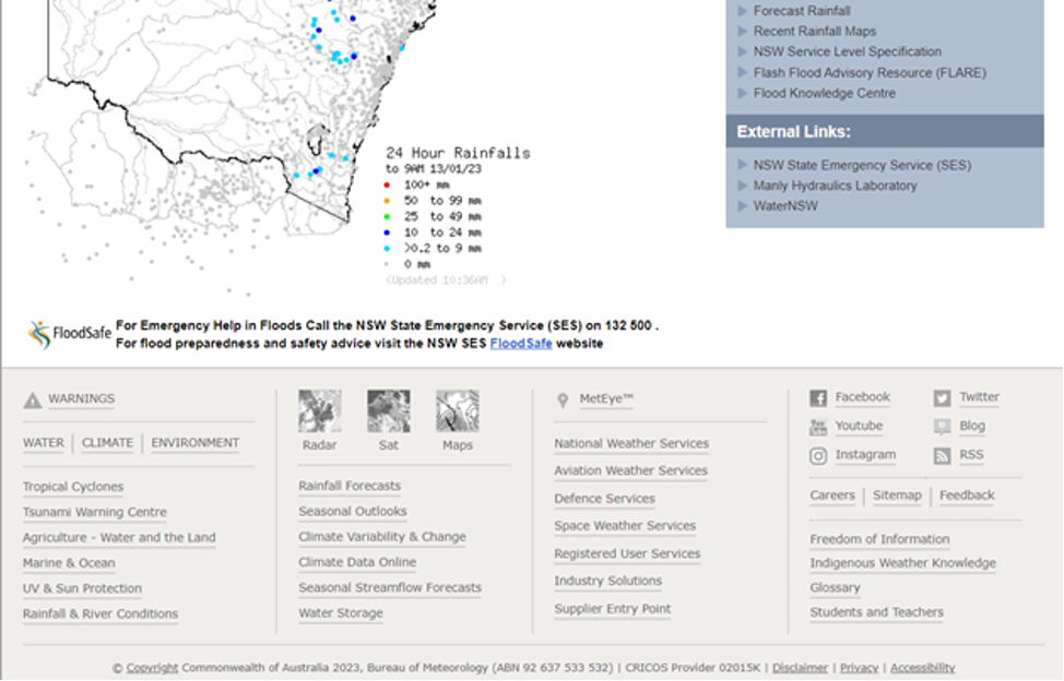
At the bottom of this page is a further series of choices and the one that gives you our next step is Climate Data Online.
From this you are taken to the following page:
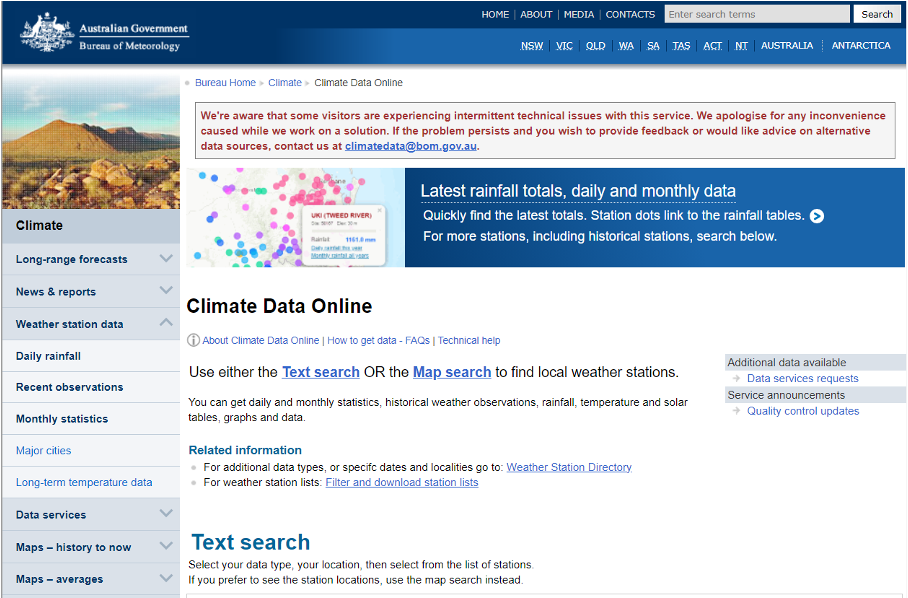
To obtain data for a location near you there are alternate choices to follow.
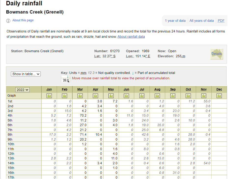
In the example below I have searched by location (Muswellbrook) and then by chosen the nearest Bureau station (061270 Bowmans Creek) which is near to the Lake Liddell Recreation Area Reserve.
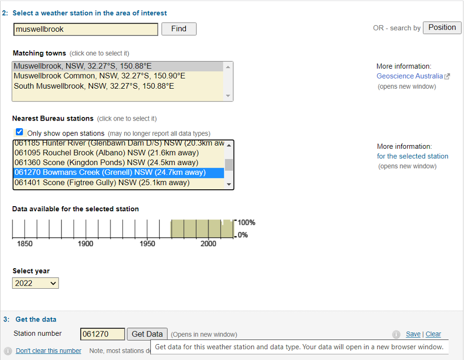
I could have used Position and given the Latitude and Longitude for the Recreation Reserve (S 32°21’ and E 150°.59. This has to be given as a decimal and so becomes S 32.33 and E 150.98)
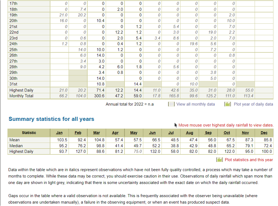
After identifying the weather station simply enter the station number in the box and click on the Get Data. This will give you the data for the year (2022)
It is possible to obtain all years of data from the station you are investigating, either through an Excel spreadsheet of daily rainfall at the top of the page or by selecting monthly rainfall on the page below the table.
If you are new to a location this is a helpful way to gain an historic pattern of rainfall. As a Landcarer it will inform you about appropriate times for planting for regeration.
Next time we will examine the other part of our question: how to assess water flow across my property. Where is it located in the catchment?
Happy Investigating!
